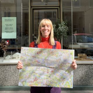
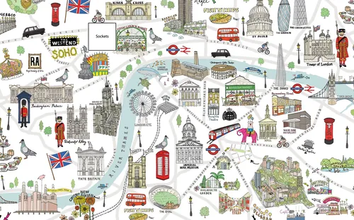
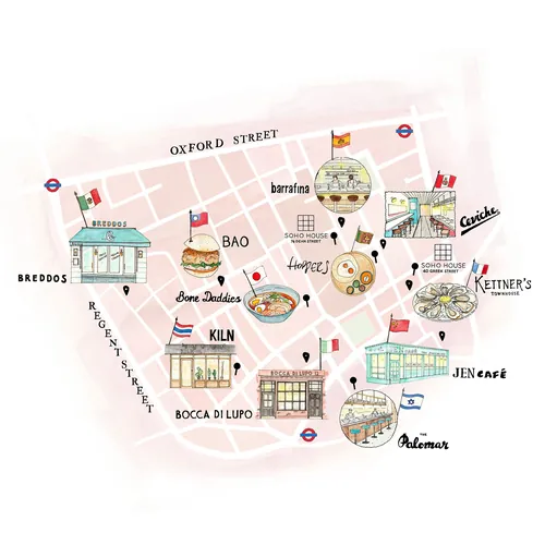
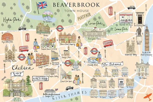
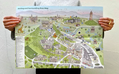
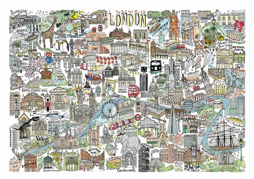
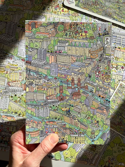
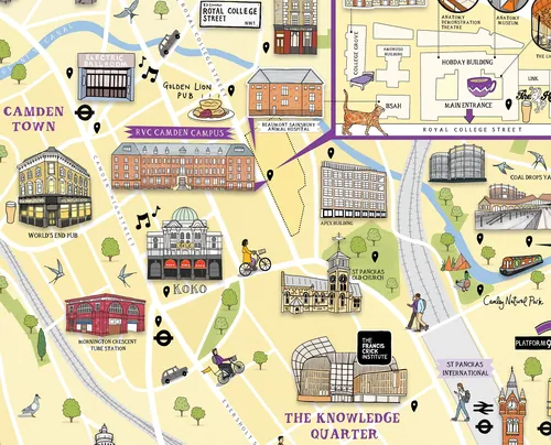
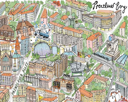
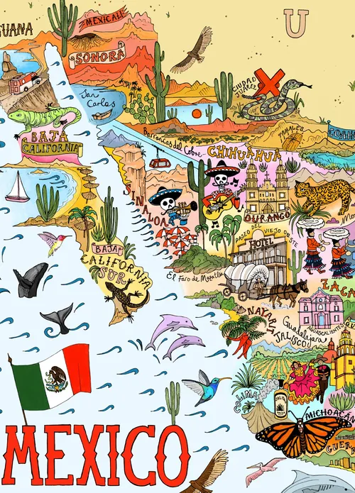
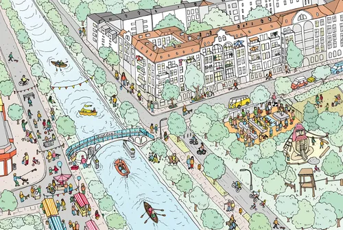
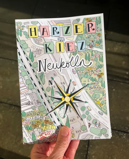
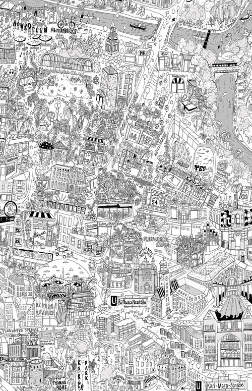
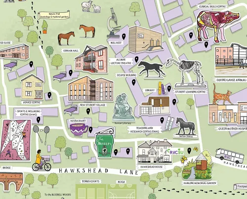
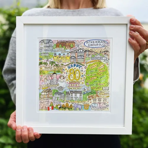
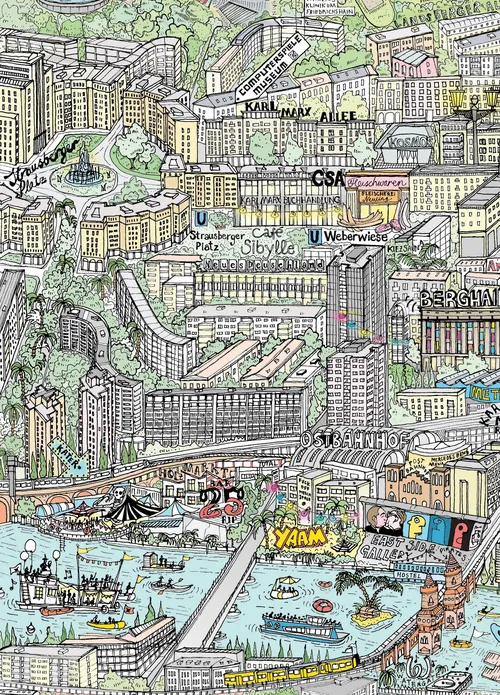
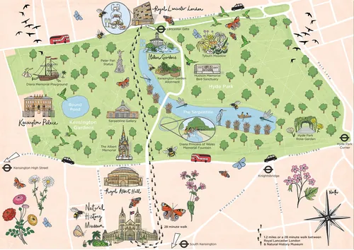
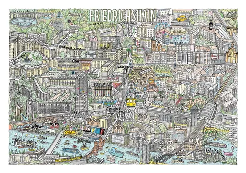
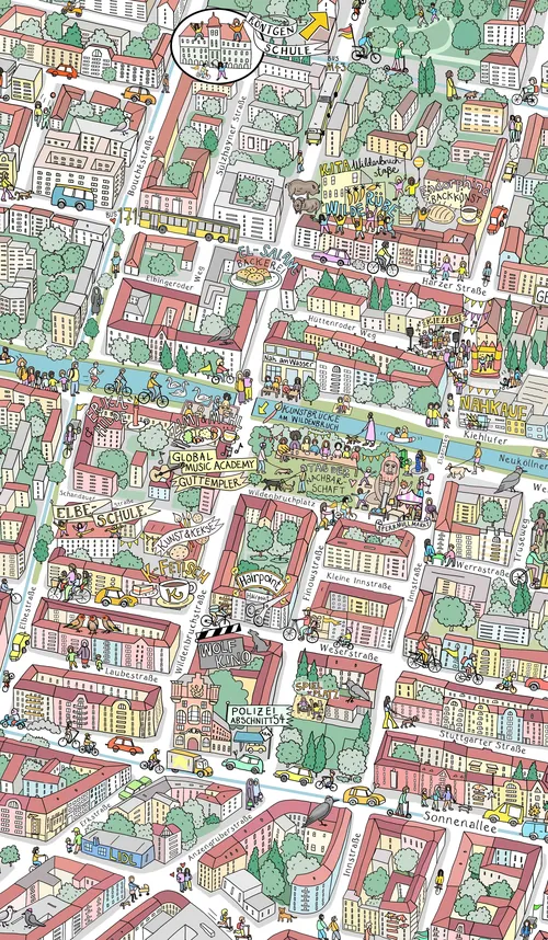
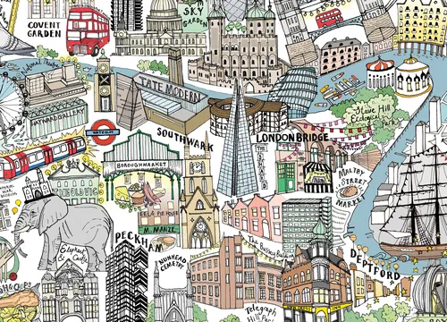
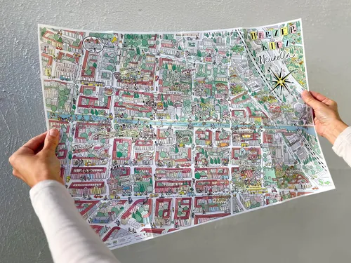
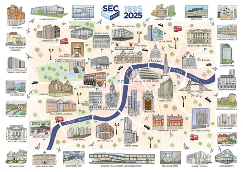
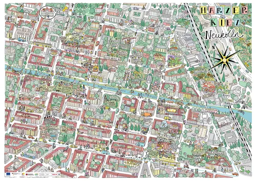
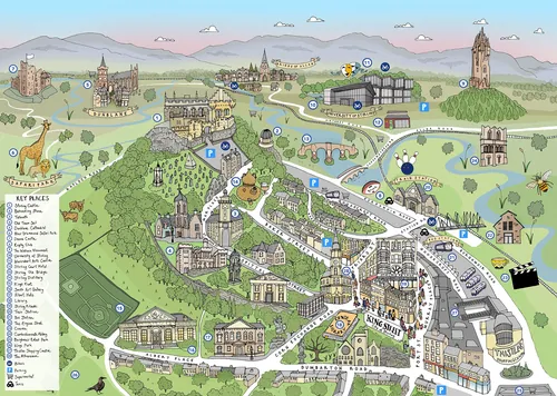
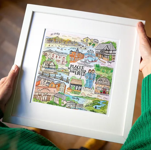
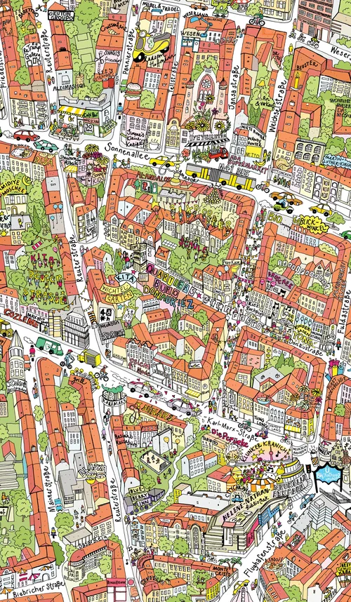
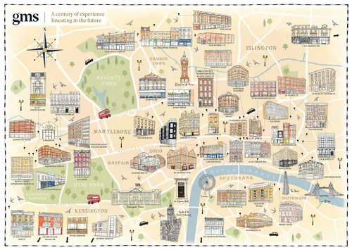
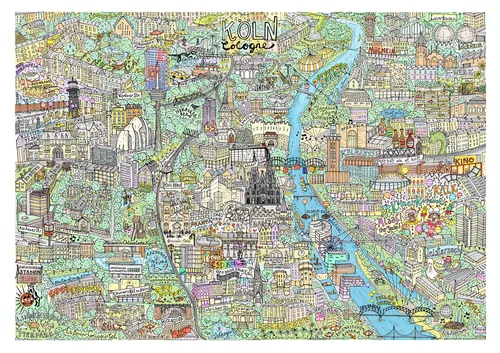
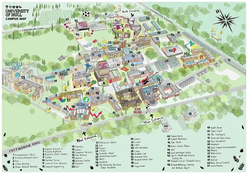
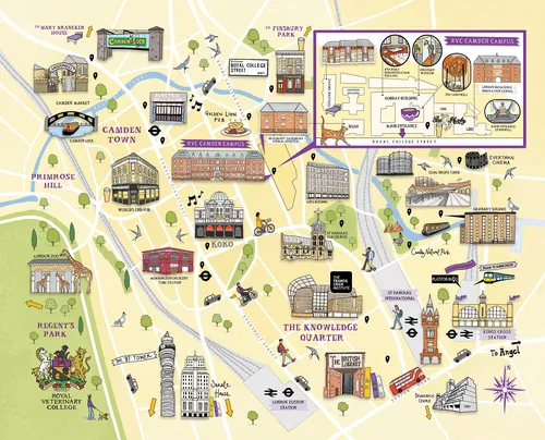
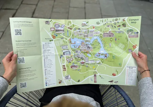
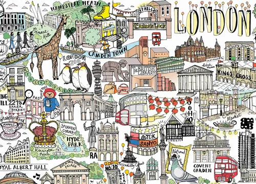
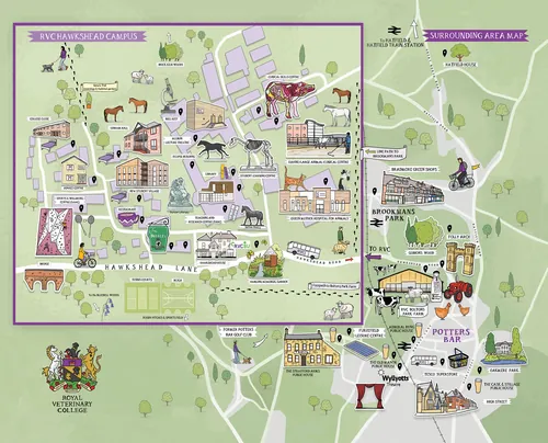
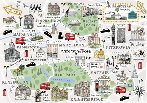
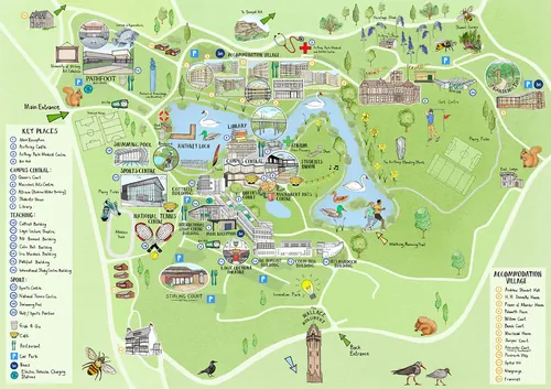
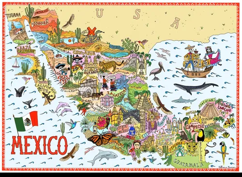
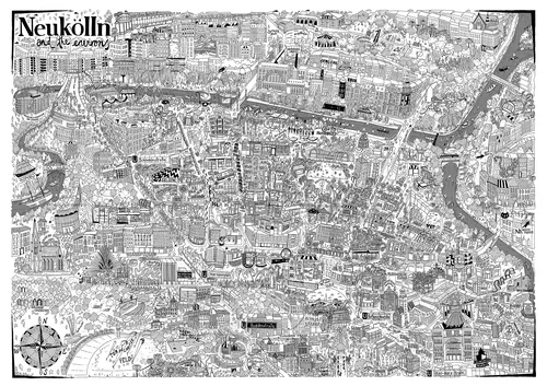
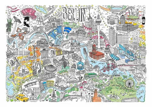
From cityscapes to campuses and from heritage to cuisine, Katherine Kannon is an artist who delights her clients by creating fascinating illustrated maps that not only help people find what they’re looking for but make them feel comfortable doing so. Whether it’s an entire city or region, a neighborhood or a cultural quarter of any description, she’ll use her skills to capture the vibe and engage viewers with their destination.
Based in London, Kathrine studied art at Chelsea College of Art and then architecture at the Bartlett School of Architecture and the Royal College of Art, where she received her MA. After working in architecture and living in Berlin, in 2016 she used her strong understanding of the built environment to found an illustration practice, fueled by a passion for capturing the magic of buildings, towns and cities – all their nuances and complexities – with pen on paper.
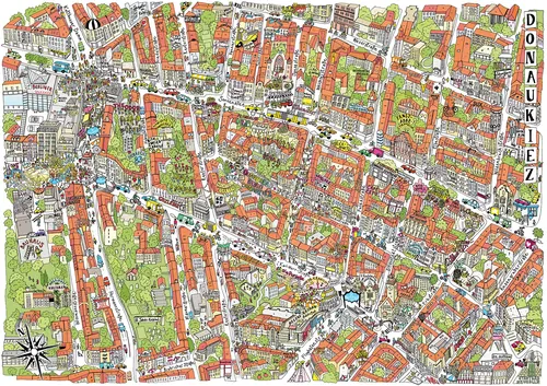
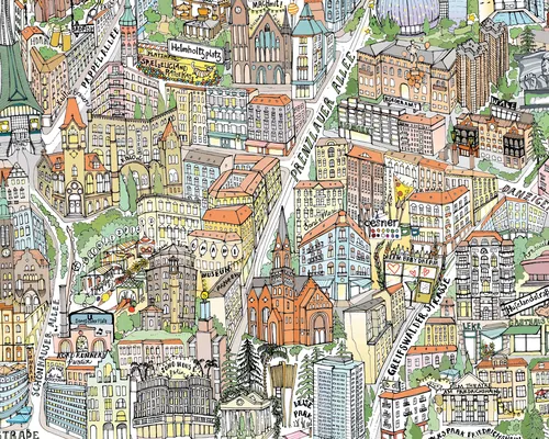
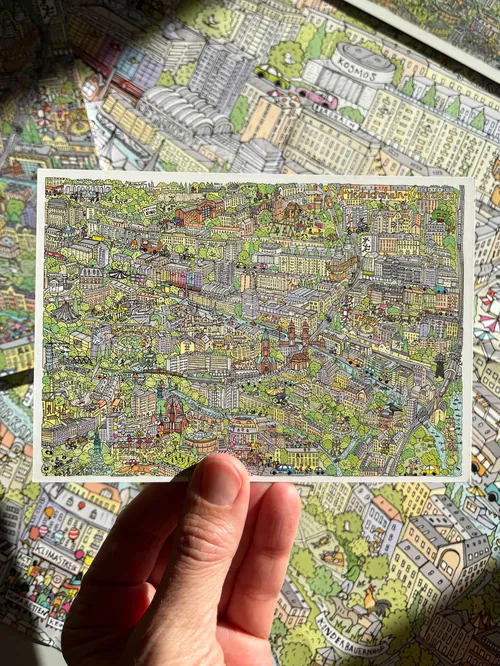
Clients love the rich detail and dedication Katherine puts into every brief, her great communication skills and the way she effortlessly captures the spirit of a place in a hand-drawn style. Her inspiration comes from the cities themselves, their architecture, the Brutalist and Postmodernist movements, along with the little things – like balconies overflowing with flowers or local ephemera such as the layers of gig posters that build up in busy underpasses.
Approach
Katherine’s hand-drawn process begins with studying the location across an array of sketches, creating the line work with technical drawing pens and fineliners, then coloring the artworks in watercolor and pencil. The elements of her map compositions are assembled in Photoshop, were further coloring and fine tuning can be carried out.Key software
PhotoshopStyle
Meticulously drawn by hand, Katherine’s illustrations are intricate and rich in the small details that make the viewer lean in for a closer look. Her color palettes are bright and cheerful, adding to the positive, optimistic impressions of the places she depicts. The tiny imperfections that come with her hand-drawn approach make Katherine’s work all-the-more human and characterful.Languages
English and GermanClient list
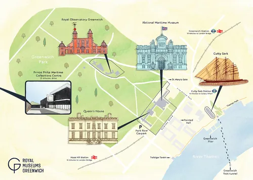
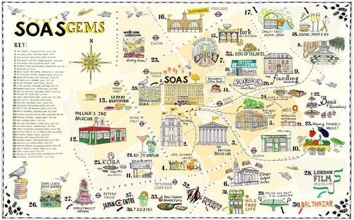
Katherine’s clients include The University of Cambridge, London Business School, Maison Hotel Bangkok, Royal Museums Greenwich, Royal Veterinary College, SOAS – University of London, Bezirksamt Friedrichshain-Kreuzberg and many more.