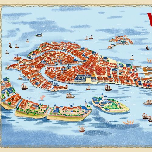
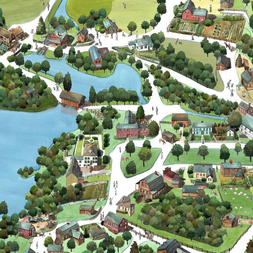
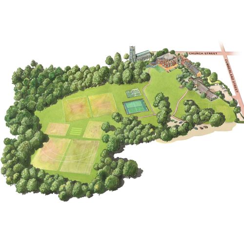
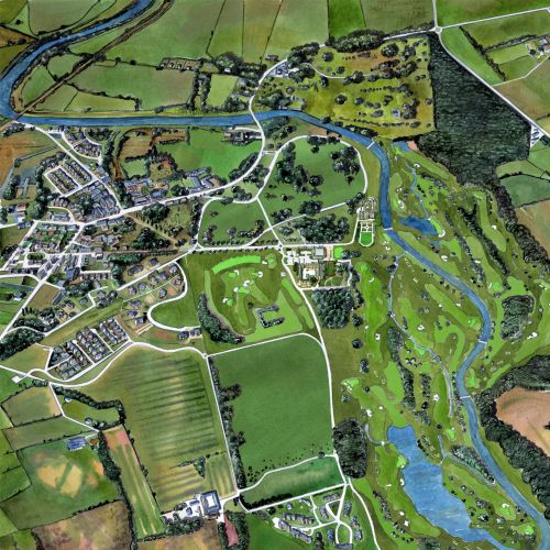
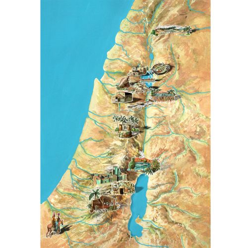
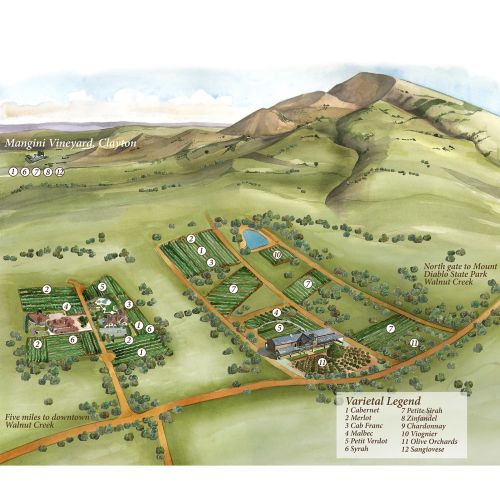
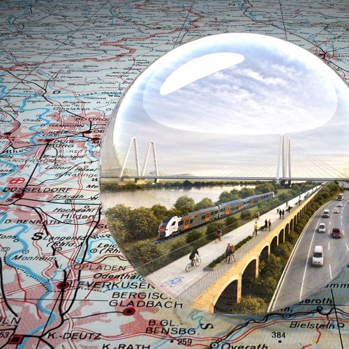
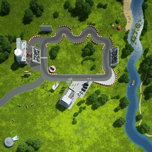
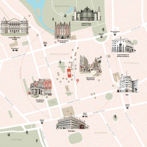
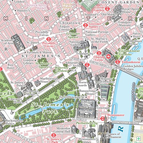
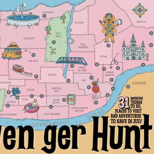
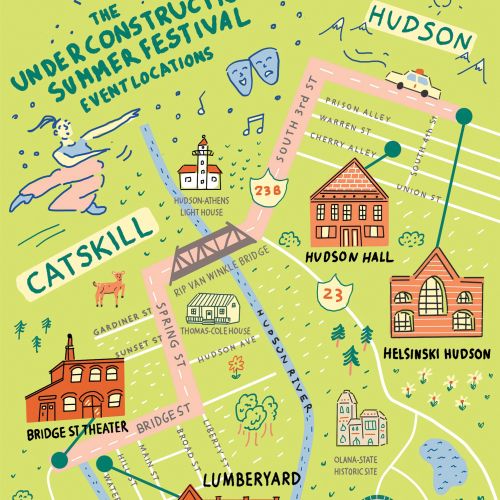
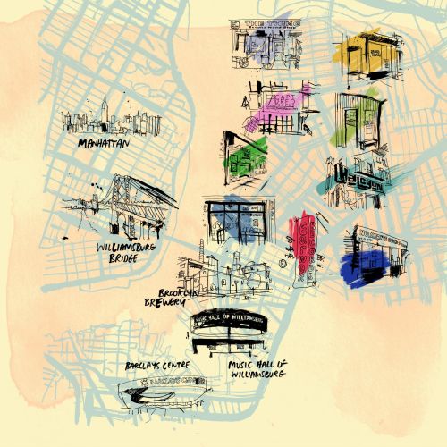
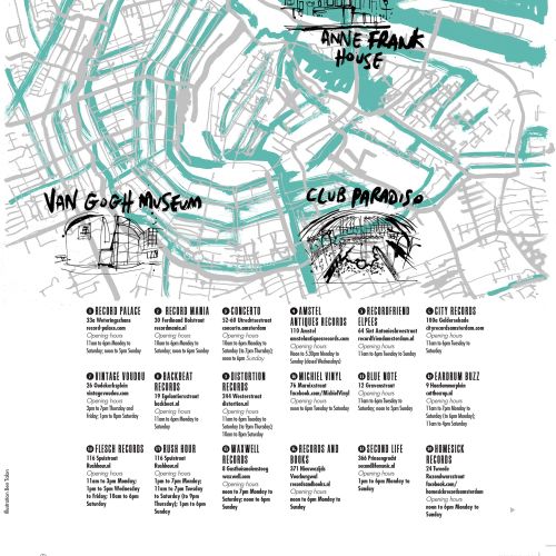
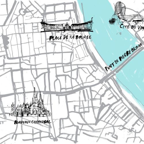
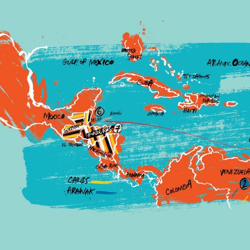
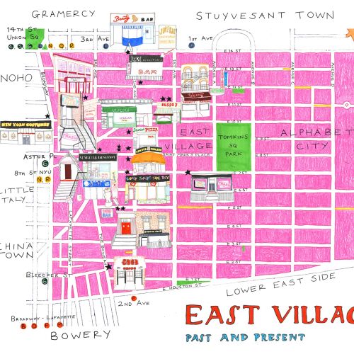
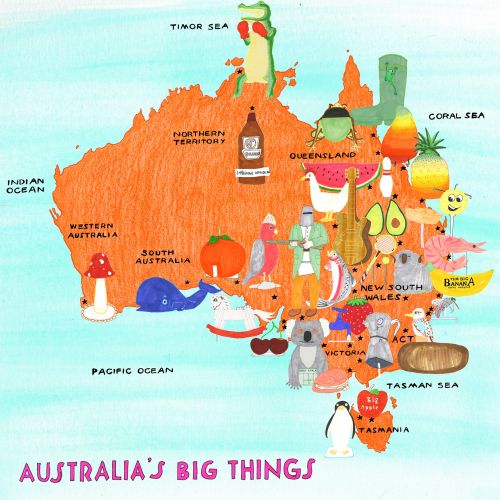
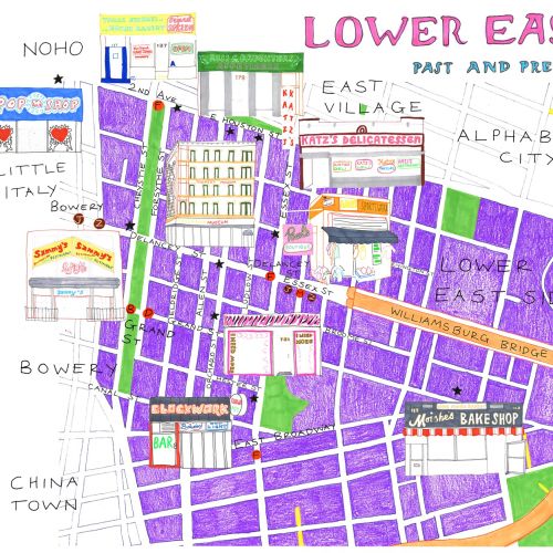
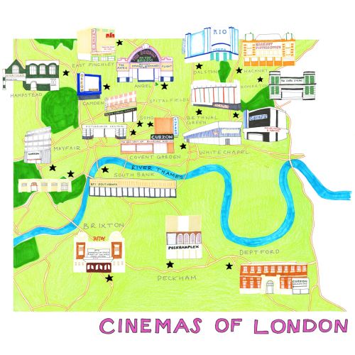
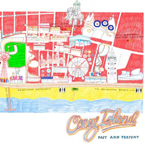
More about map illustration
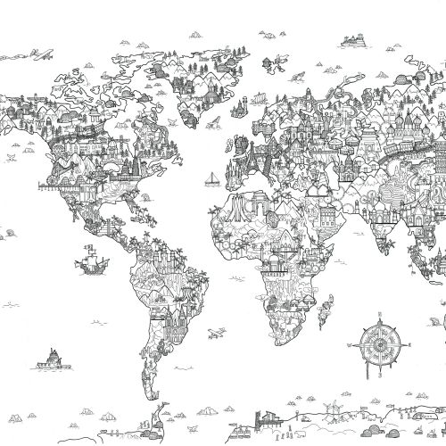
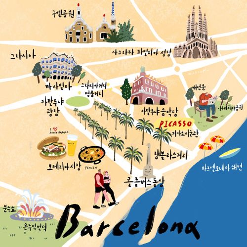
From the travel section in the newspaper to history books and on to corporate websites, illustrated maps bring places to life. Museums, theatres, galleries, restaurants, bars, train stations – all the important locations will leap from the page thanks to a talented illustrator. Anyone who looks will be grabbed by a spirit of exploration.
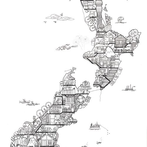
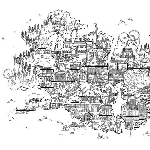
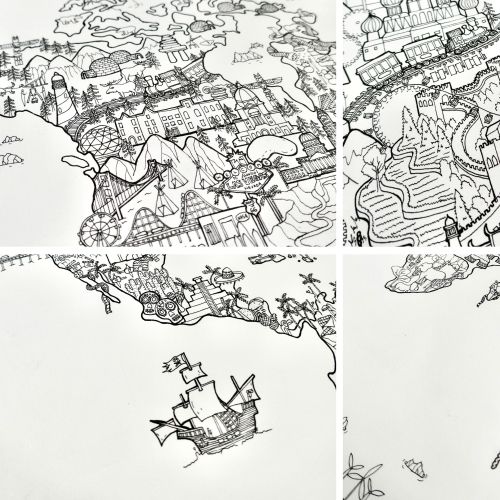
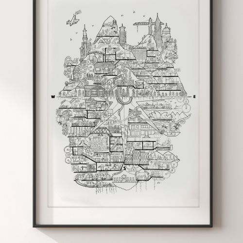
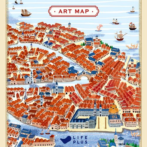
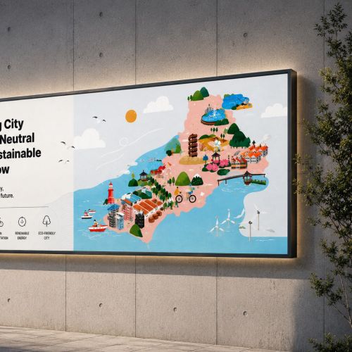
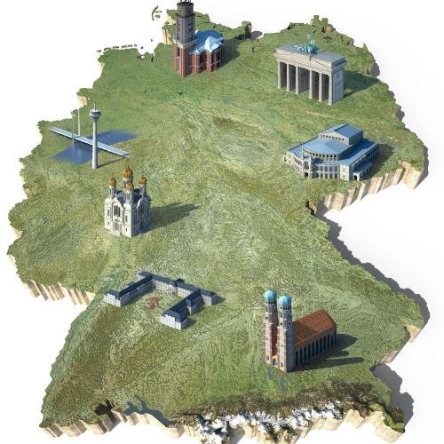
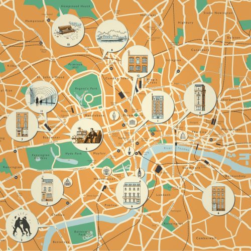
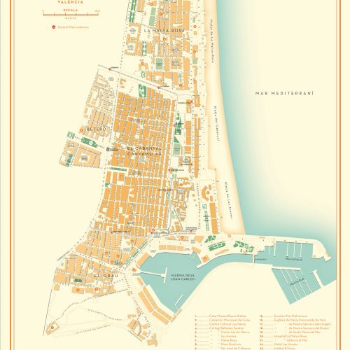
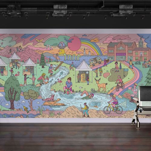
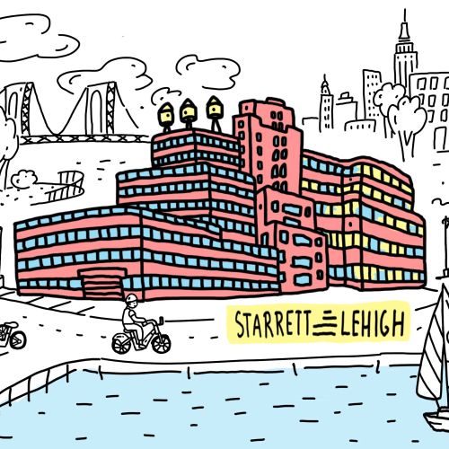
Map illustration comes in a plethora of styles and formats. Some are cartographically accurate with illustrated insets catching the eye, others abound with vibrant imagery. Many give an overhead view, others a daring isometric perspective. As well as tourism, map illustration is used for university and business campuses, stadiums, transport hubs and more.